Sabine Lake
Port Arthur, TXSabine Lake is a 90,000-acre saltwater estuary on the Texas-Louisiana border. The lake, some 14 miles long and 7 miles wide, is formed by the confluence of the Neches and Sabine rivers. The lake borders Jefferson County, Texas, Orange County, Texas, Cameron Parish, Louisiana, and the city of Port Arthur, Texas.
Fishing
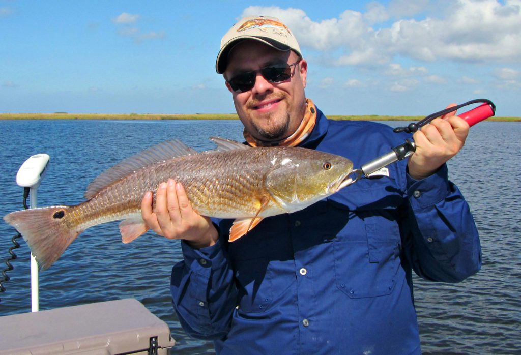
The lake offers a variety of fishing possibilities with potential for successful fishing throughout the calendar year. During the winter months, fishing success depends on weather patterns. In warmer months, speckled trout, redfish, black drum and other species become active. The warmer months are also best for drifting oyster shell reef at the lake’s south end. The reef extends from the deep water area near the causeway ridge to Blue Buck Point on the Louisiana shoreline. Download our water entry map. The map is a .tif file and is larger than 15MB.
Pro tip: The reef is patchy, but if you drift through this general area, you will be over reef a majority of the time.
Getting There
Sabine Lake
Port Arthur, TX, USA